Last summer, some huge floods and landslides caused all sorts of chaos in this alpine region and today we saw some of the devistation first hand on the walk up to the Refuge des Bans. For a start, the road to the car park was still closed to traffic. This could have put an end to the day, but a friendly policeman said we could follow him up the first section of road, where the tarmac was still just about intact. This left us with an extra 2km to hike, but we were happy enough with that. What had previously been a flower filled meadow, was now strewn with fluvial debis!
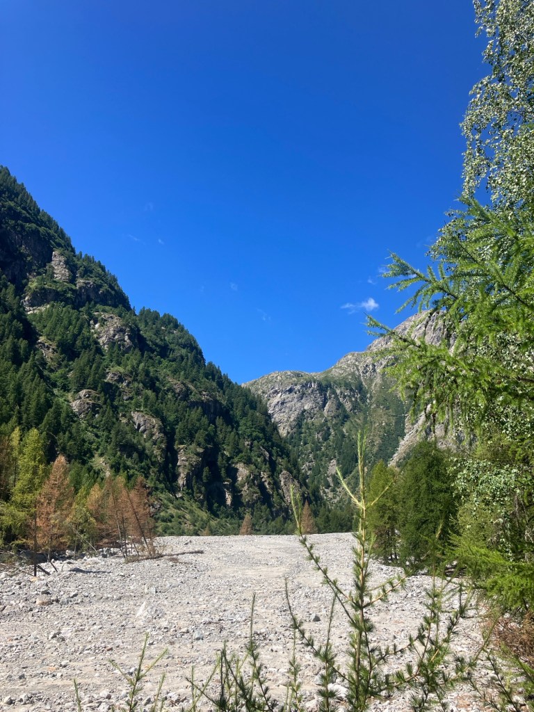
Having left the car and set out on foot, the remaining road had either been swept away or buried in rocks and broken trees. Work had started at the start of the month to put a track back in, but it was only passable by 4×4 (or those who don’t care much about their cars!). The power of the destruction was awesome, with fully grown trees, snapped in half like twigs and long metal RSJ bridge girders, bent around bounders.
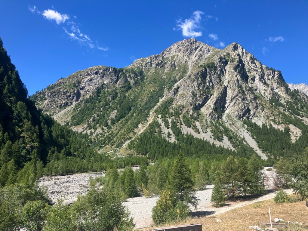
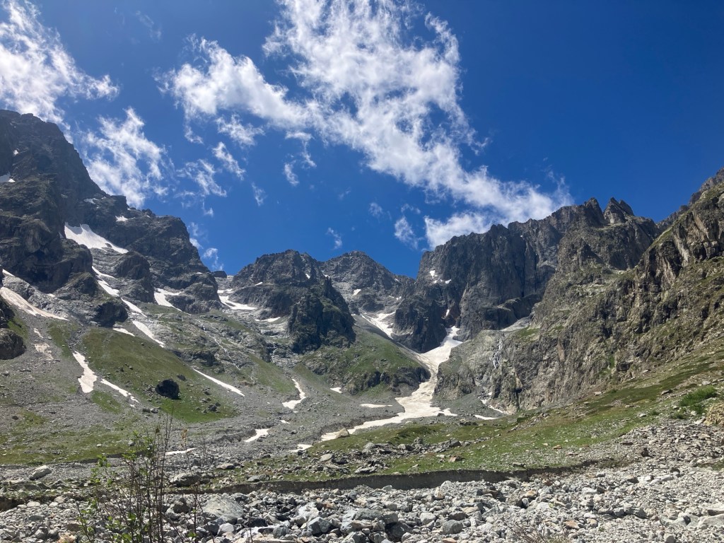
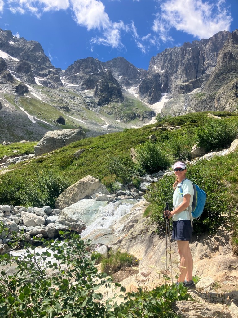
After reaching what was the car park, a small buvette marked the junction between the long distance GR54 path and the way up to the Refuge des Bans. The going was hot, but the views outstanding, with no real trace of human interferance.


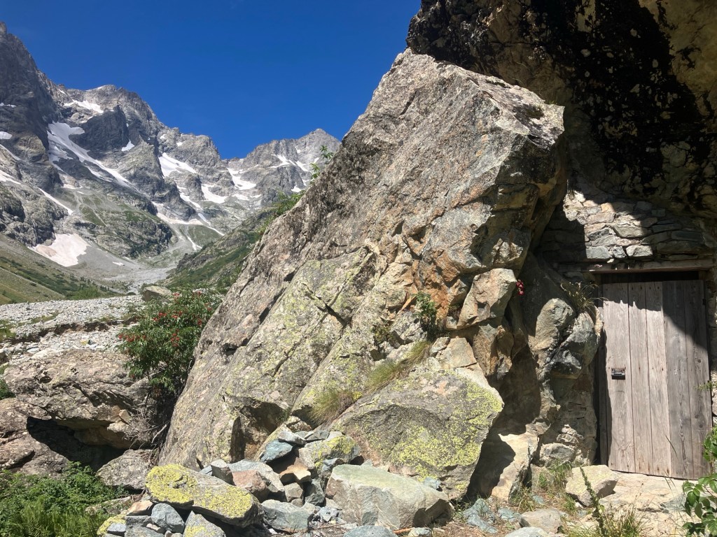


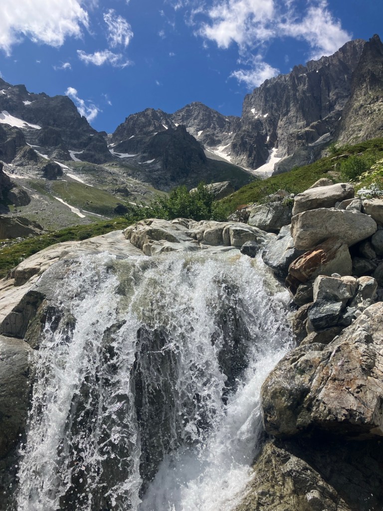
The route up to the Refuge had also suffered plenty of damage, with landsides wiping out bridges, paths and trails. This new bridge was helpful as several times we had to hike up and around sections of path that had been swept away.

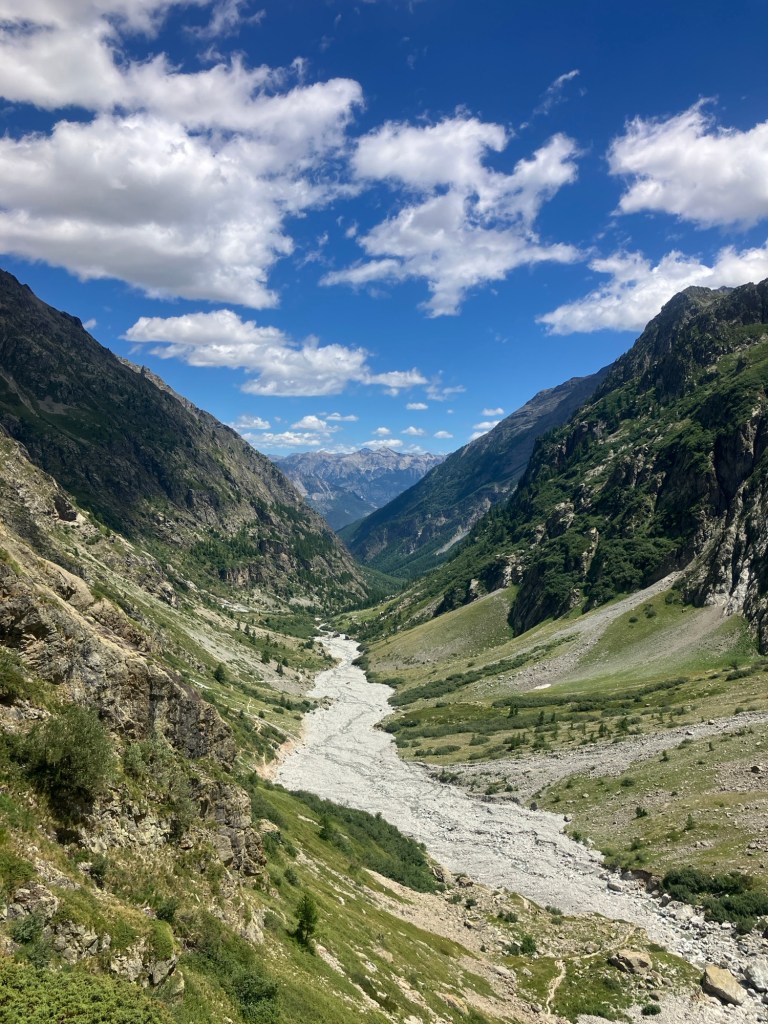
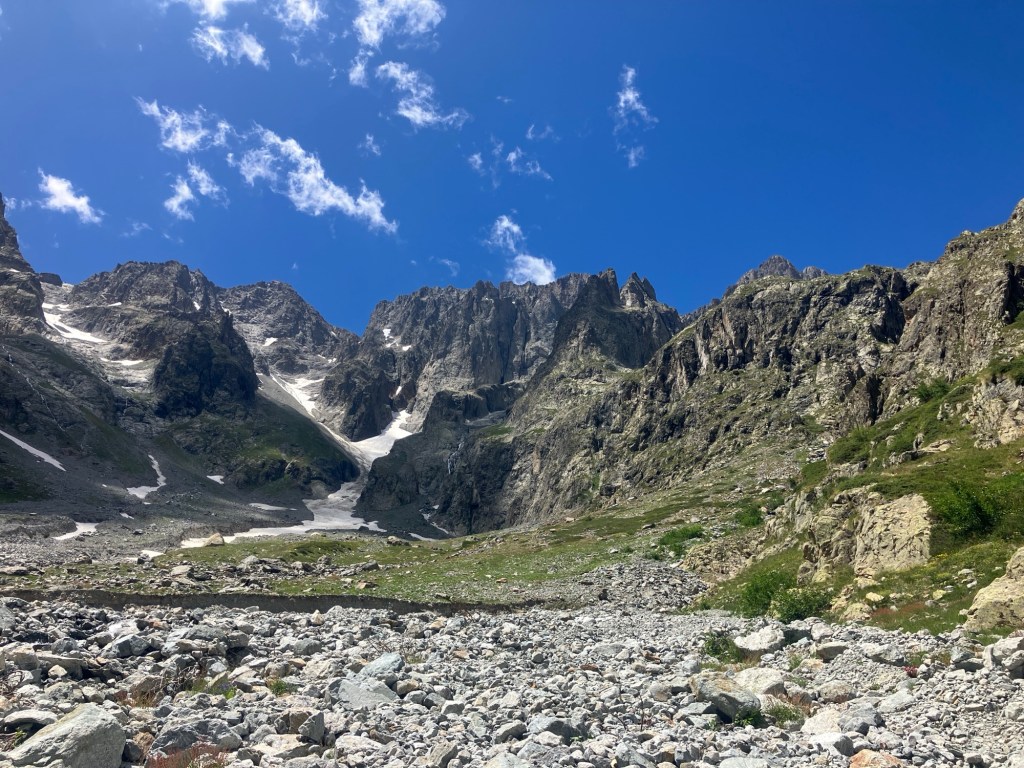
Looking back down the valley from the Refuge, it’s clear to see the left over debris in the bottom of the valley – previously there had been just a small stream!
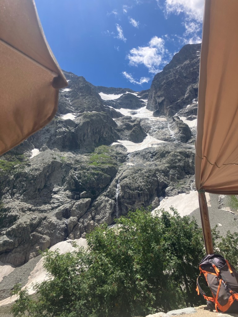
The heat made the ascent hard work and we were both very pleased to find a shady table and a smiling hut guardian on the terrace, who provided us with some freshly baked nutcake and drinks.

We spent well over an hour at the hut, relaxing with binoculars trained on the peaks and climbing routes of the area and even spotted a team reaching one of the towering summits. Even having hiked to the hut, the climbs are still a good way off and the glaciers marked on my map had all but vanished.

On the way down, we stopped to see where some swathes of forest had been wiped out.

Our ‘swimming guidebook’ had suggested that there was a small bathing pool near here. Recent events however had changed the course of the river beyond recognition and even created anew large lake near the buvette!
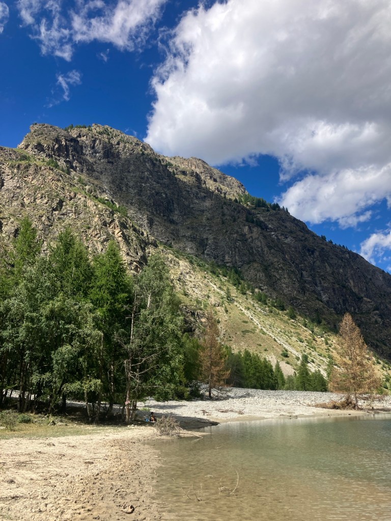
On the plus side, this did present a swim option and we were very happy to strip off and swim in the cooling shallow waters after the long hike down.

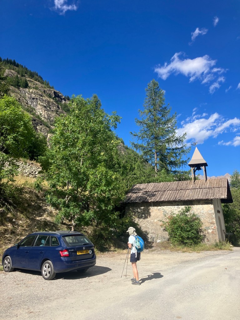
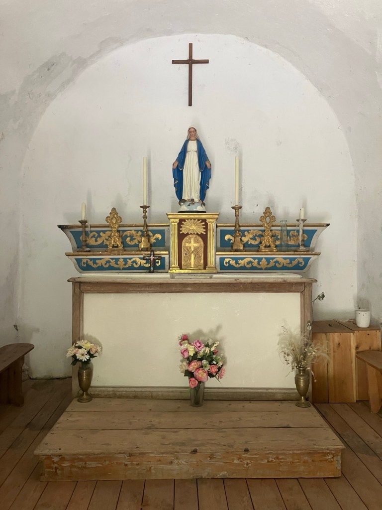
From the lake, a rough road took us back towards the tarmac. Finally, we reached the little chapel of Beassac where we had parked. There’s supposed to be a swim spot below the chapel, but that’s almost certainly long gone now and after 15km of hot hiking, neither of us fancied the steep scramble down to find it.


Back home, we just about had enough energy left for showers and a big feed, before falling asleep! But before that we had an interesting interaction with a big grasshopper that landed on the window!


Refuge des Bans – from Beassac
- 15km round trip, (657m ascent)

Leave a comment