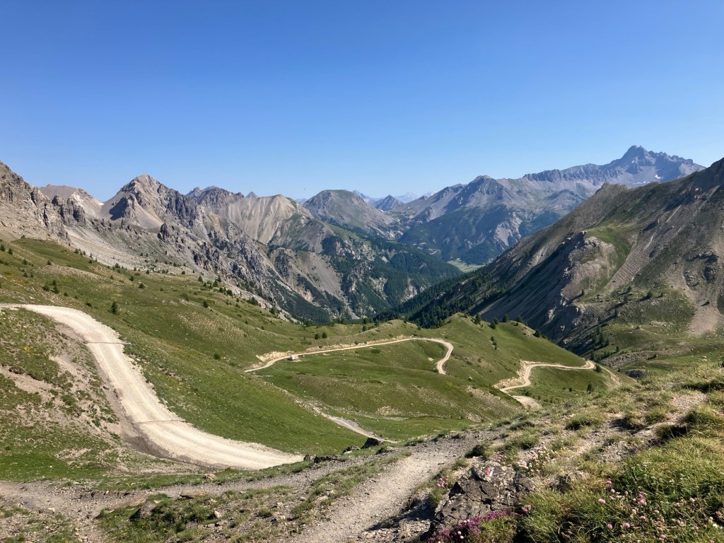
The heat of the summer has meant that we’ve had to move up to higher altitudes to keep cool. Clare had found a fun looking route with only a 20m walk in from a car park at 2500m, however, on closer inspection of the map, it looked like the road to the Col de Furfande, might be a little more challenging that our car and diving skills might be up for? I tried to get some information from google, and the only thing that came up about it was from a website called ‘dangerous roads.org’!
We decided to find another way!
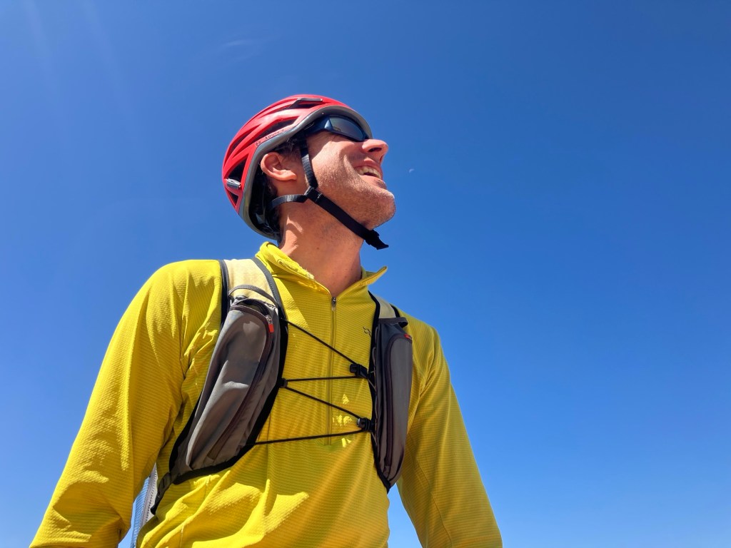
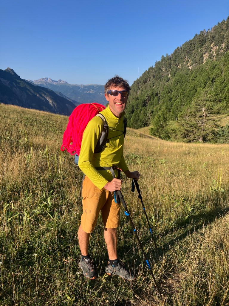
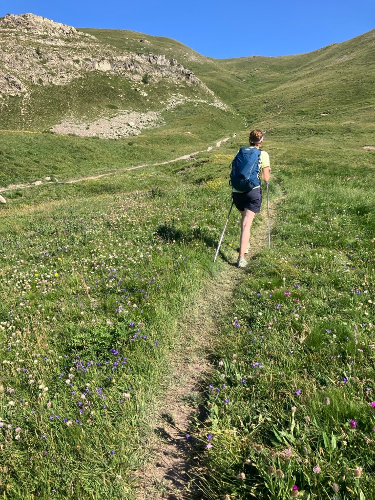
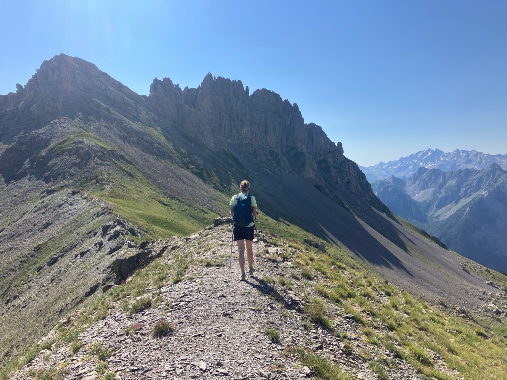
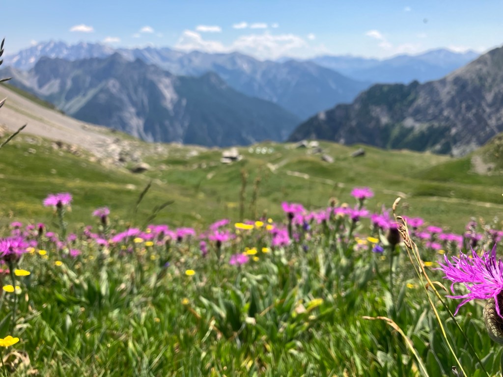
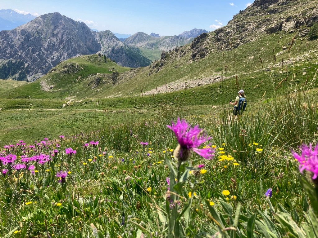
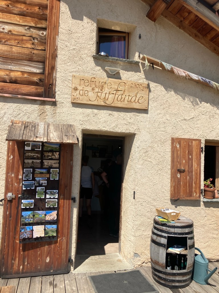
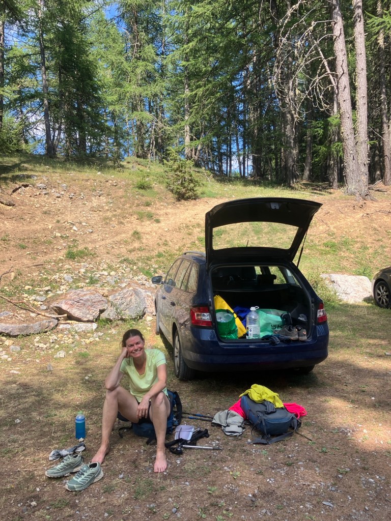
Just below the Col de Furfande, is a refuge, who’s website suggests hiking in from the other side of the mountain on a well marked path from around 1900m. The two hour hike up certainly was more than the twenty minute approach we’d hoped for, but it looked like it might make a great journey when combined with the climb. Reaching a car park at 1900m still involved a nerve wracking 5km final section through woodland and meadows on single track gravel trails, but having left early, encountered no other traffic at least! High above the Guil gorge, we set off walking at 8am. It was already hot.
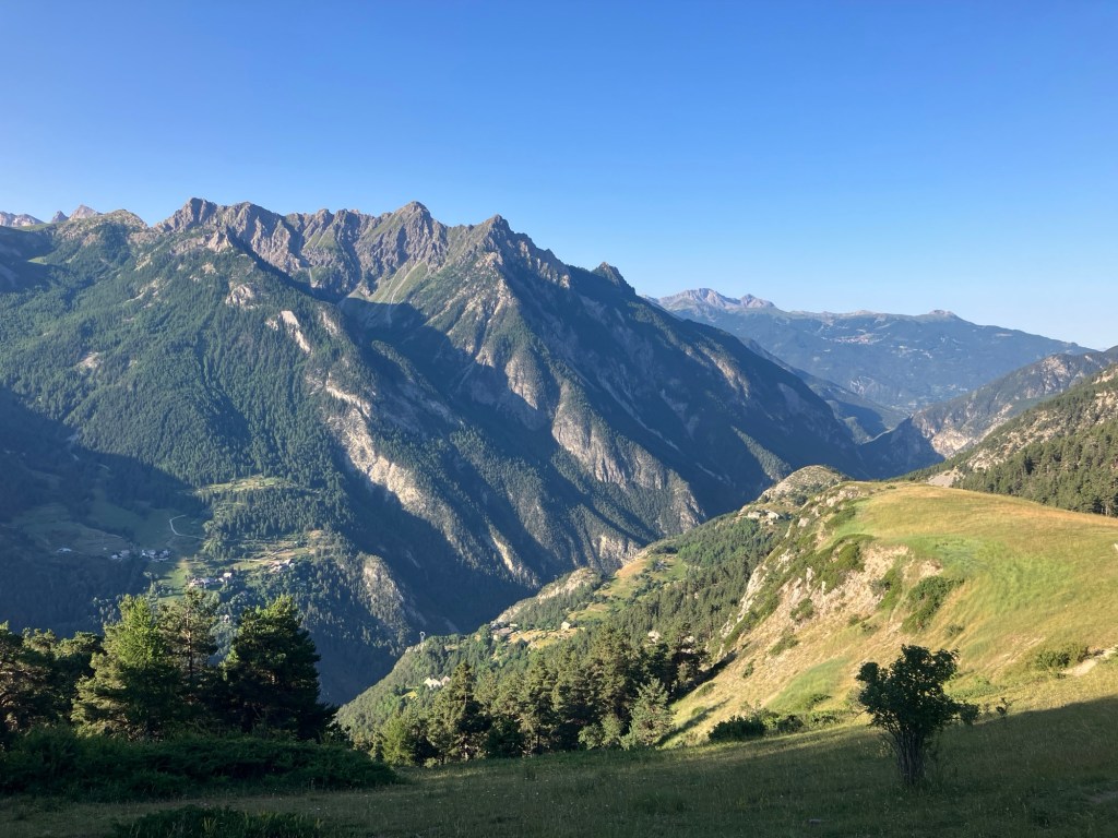
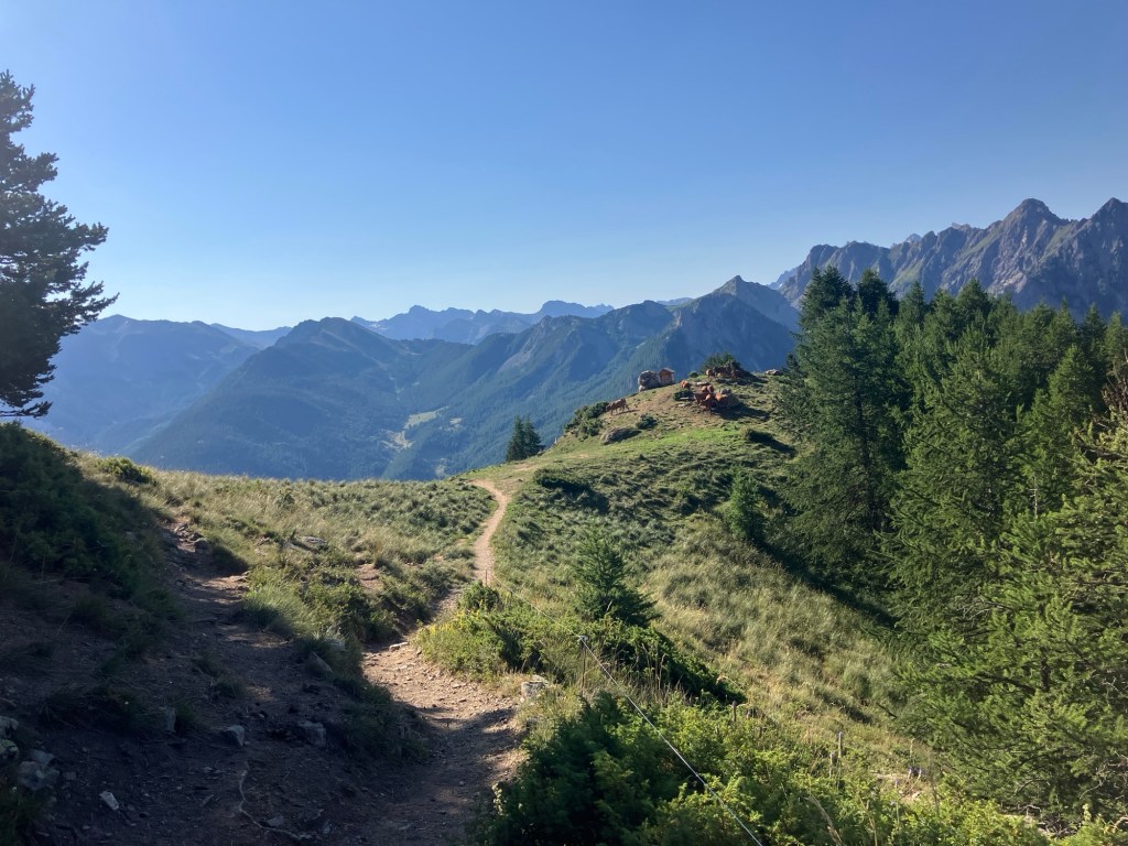
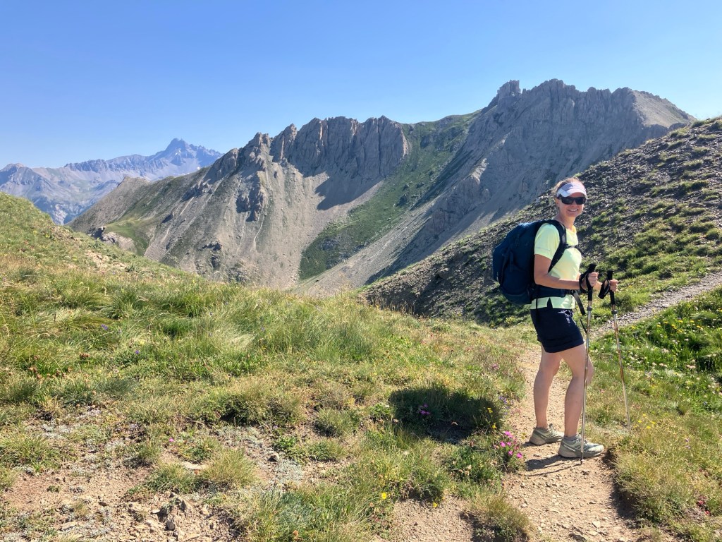
As advertised, the trail was pleasant and actually mostly shady as we traversed the hillside then ascended to the refuge, which we reached in an hour and a half. The temptation to side down outside and order a drink was great, but we both agreed, that if we did that, we’d never get going again, so continued up another 40 minutes or so towards the Col de Furfande.


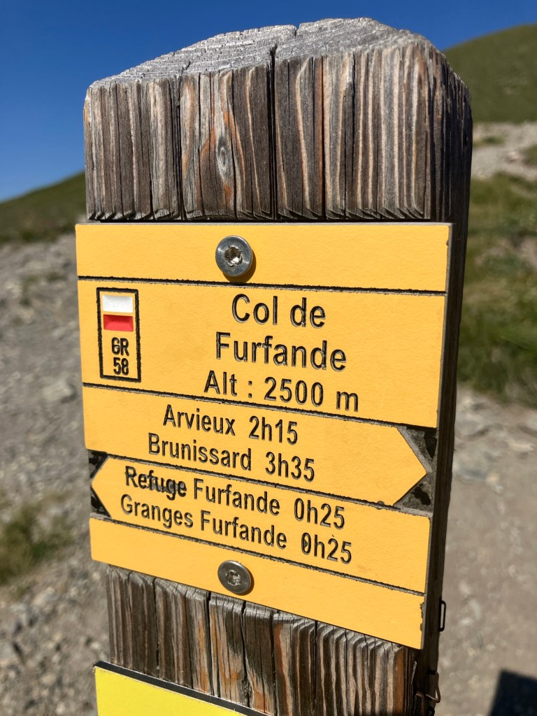
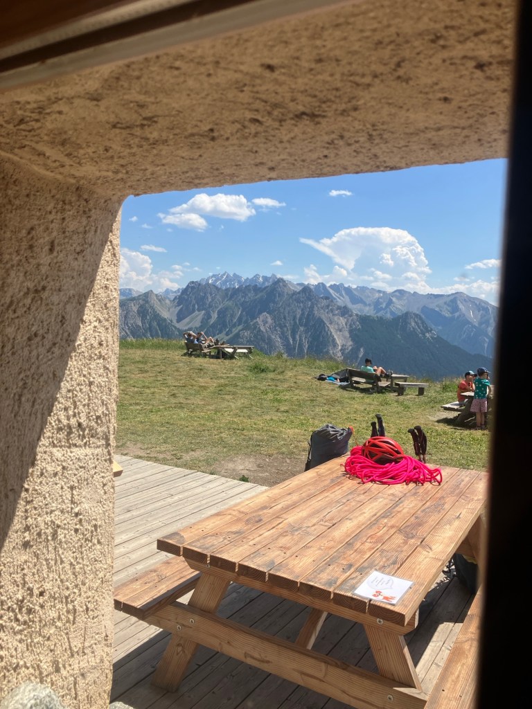
Reaching the col was bonus really, as we got great views down the other side and both got to feel extra relieved that we had not tried to drive there!
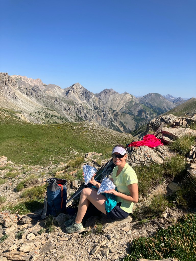
From the col a short ridge walk got us to the base of the slabs that led up to the peak of Tete de la Cochonne.
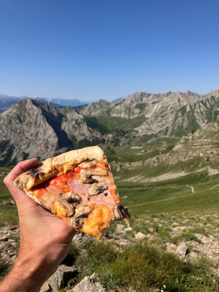
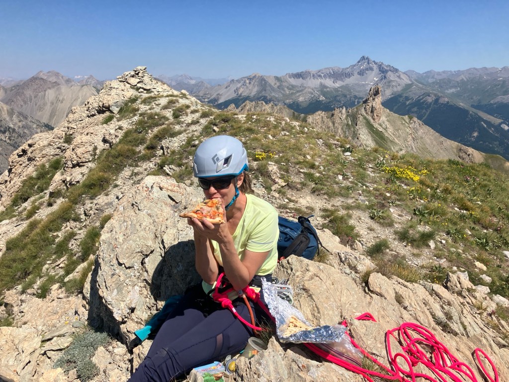
We got geared up and had a slice of pizza before traversing the screes below the peak (best packed lunch of the trip so far!).

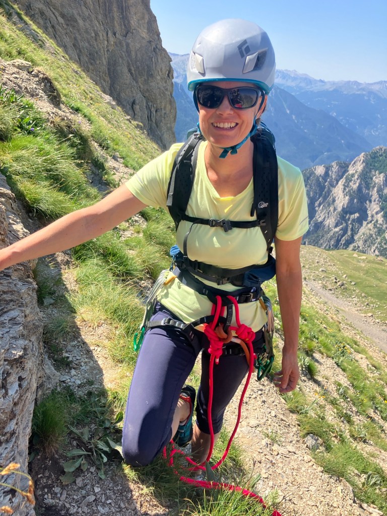
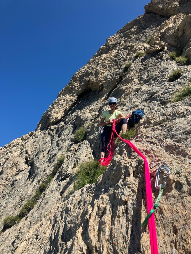
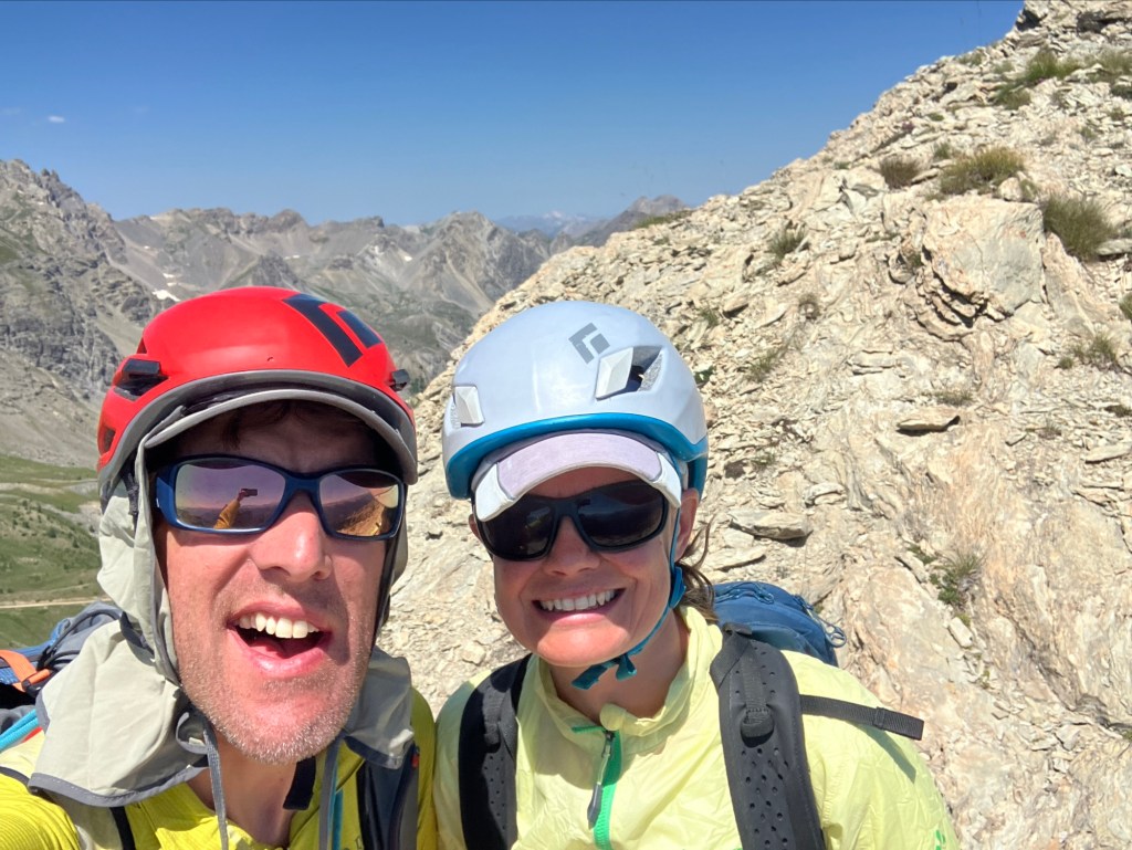
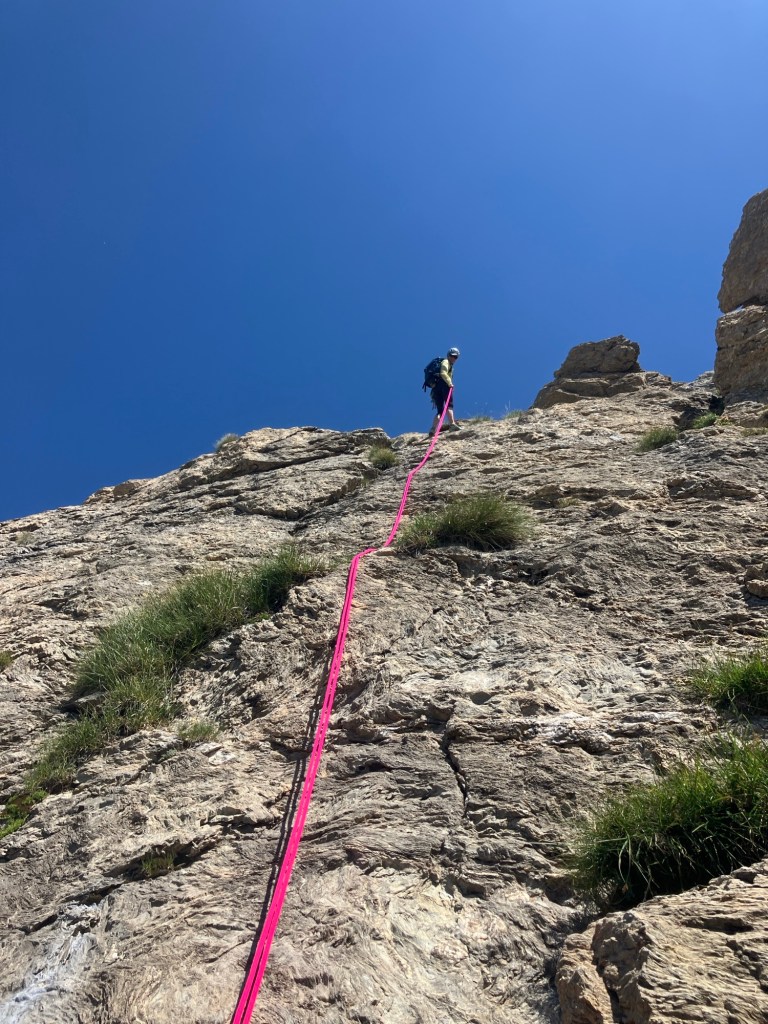
The climbing was fun and low stress as it was well within our comfort zones. The pitches had been bolted well in 30m sections that were easy to follow.
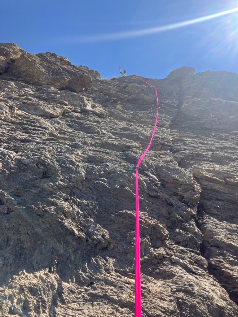


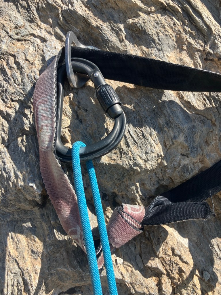
As expected, although it was well bolted, (due to the very long access), I doubt many people have been up there to repeat the route since it was opened. On the belays, we replaced the faded and sun bleached slings with our own ones!
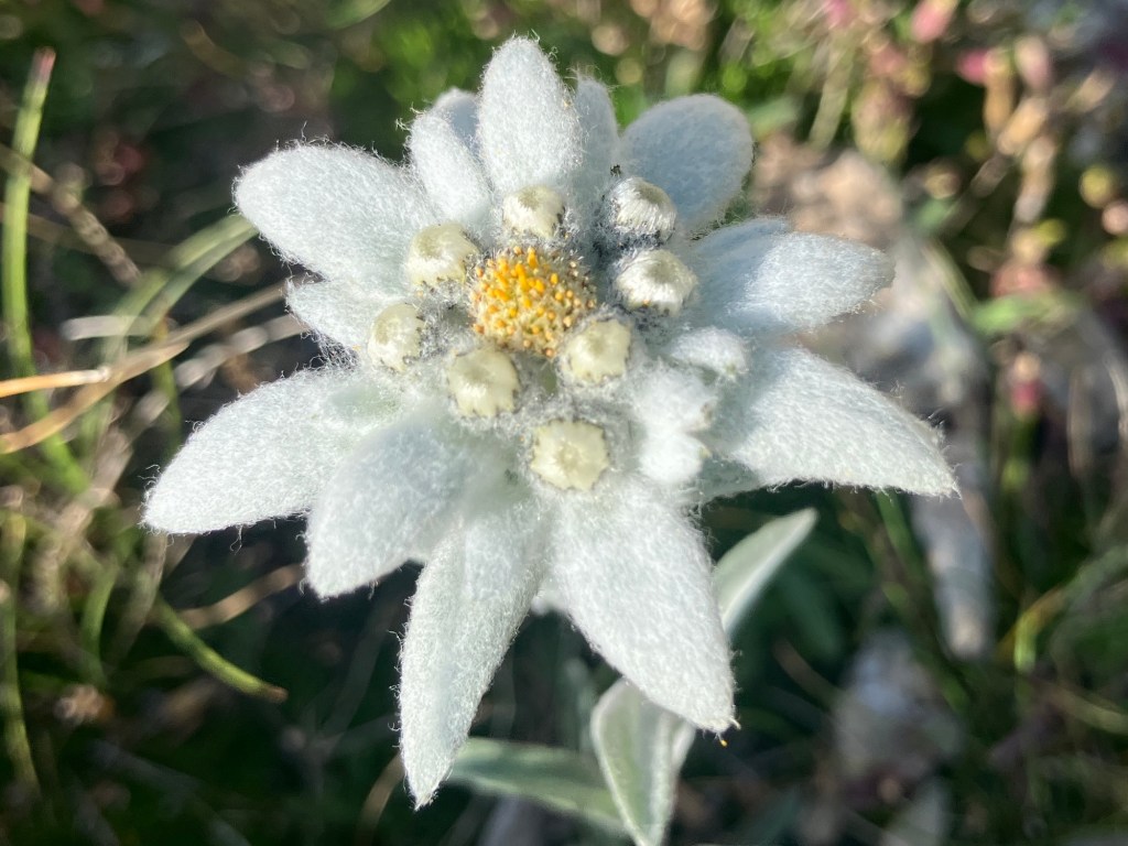
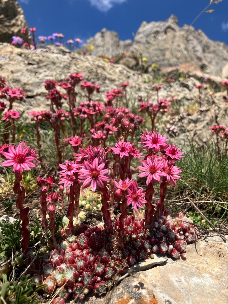
Plenty of good flowers on the ledges!

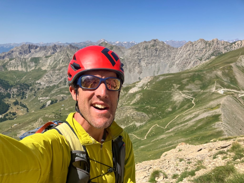
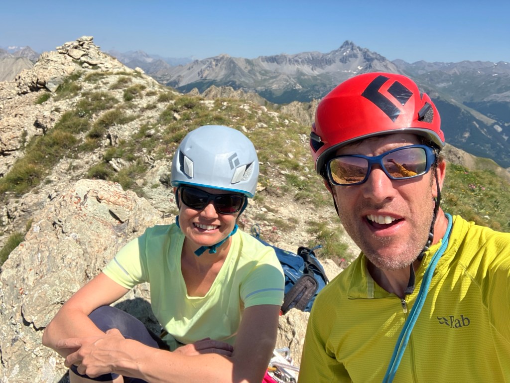
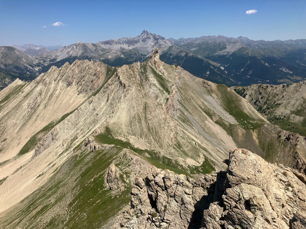
We reached the summit around midday, under a cloudless blue sky and with a fantastic 360 panorama.
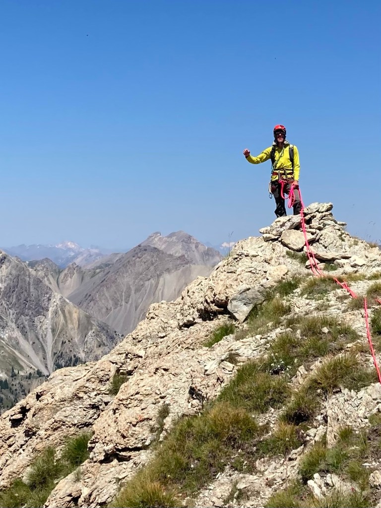


We were hot, tired and delighted. We lay back and took in the views, picking out where we’d been so far this summer and some of the notable distant peaks, such as the Barre des Ecrins and Mont Viso. More pizza, more water and a lie down followed before attempting the descent!

The sun beat down on us as we descended the ridge to the abseil point, so much so that we wore our caps under helmets to keep the glare off. We downed the last of our water and set off.
One swift 30m abseil had us back on the screes – all we had to do now was get to the refuge for food, water and shade!
We descended through meadows of flowers and marottes.


Finally, we arrived at the refuge, dropped our packs and went into to the delightfully dark and cool dining room. The combination of shade, freshly baked raspberry tarte, ice cold sparkling water and a hut coffee was restorative!

All that was left was to hike the two hour trail back down, which we did in one hour and fifteen minutes!
Hot, sweaty, tired and happy to be back at the car – eight and a half hours after leaving, with nearly 900m ascended and over 13km travelled featuring 6 pitches of climbing and an abseil thrown in!
The only thing to do was descend the track straight down to the river and get in!
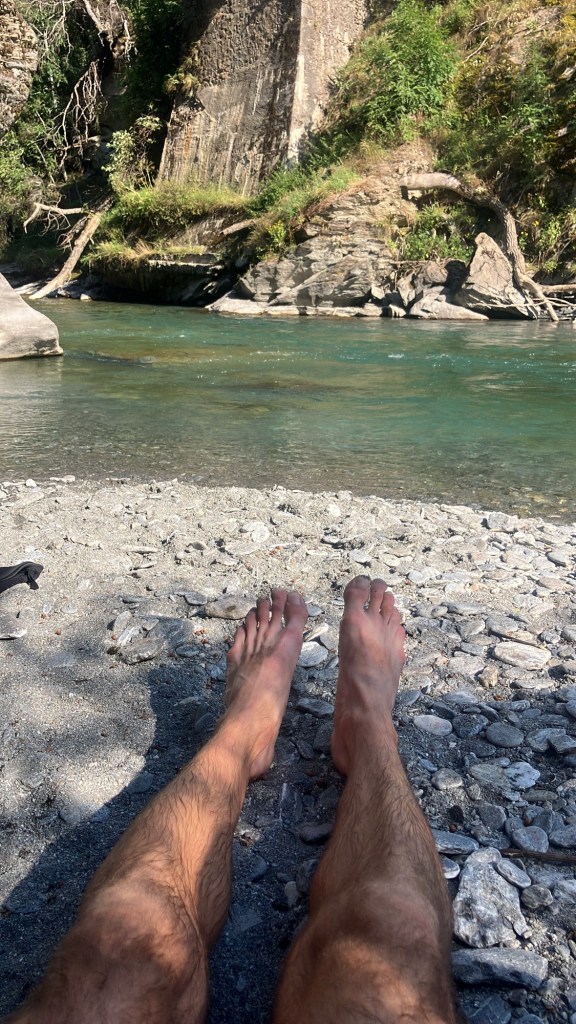
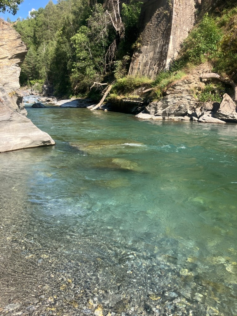
Followed by a huge feed in the valley! (and actually followed by another cool off in the lake on the way back up to the chalet!). A super day!
Tete de la Cochonne (2667m)
- L’Inaccessible Voisine, 3a,3a,2c,2c,3a,3c* 150m

Leave a comment